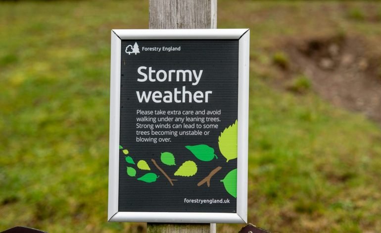
The Met Office has named the storm set to hit the UK this week Storm Floris. The storm, forecasters say, will bring “unreasonably strong winds” to the country, as well as “heavy rain.”
The north of England, Scotland, and Northern Ireland will be among the worst hit regions by Storm Floris, the Met Office said. A yellow warning is in place until 6am on Tuesday 5th August. The areas under the alert could experience westerly wind gusts of 40-50mph inland, and up to 60-70mph on exposed cliffs and hills. Parts of Scotland may even see winds reach as high as 85mph.
The areas covered by the warning, according to the Met Office, should prepare for potential damage to buildings as well as injuries and danger to life from power cuts and flying debris. Travel on road, rail, air, and ferry services may also be disrupted.
Storm Floris is the sixth named storm in the 2024/25 storm naming season. The season runs from September 2024 to 31st August 2025. The last one was Storm Eowyn in late January.
This follows the fifth warmest July on record with an average temperature throughout the month of 16.8C. it was slightly less than the warmest July on record which reached an average of 17.8C in 2006, and behind 2019 (17.2C),1983 (17.1C) and 2013 (17C).
July was also the sixth consecutive month that saw mean temperatures being above average for the UK, and followed England’s warmest June on record and the second warmest for the UK as a whole.
Stay tuned to EyeOnLondon for the latest news and expert opinions.
Follow us on:
Subscribe to our YouTube channel for the latest videos and updates!
We value your thoughts! Share your feedback and help us make EyeOnLondon even better!