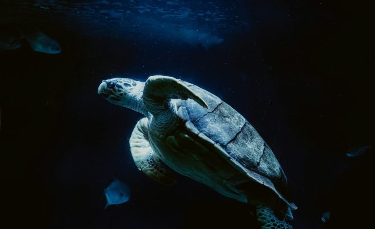
Turtle nesting ‘mega-site’ revealed by drone
A research team from Florida has developed a more accurate way to count wildlife by employing the use of drones. The innovation has helped confirm the site of the largest nesting site of a threatened species of turtle in South America.
By using a combination of aerial imagery and statistical modelling, the team documented over 41,000 Giant South American River Turtles along the Guaporé River in the Amazon. The findings were published in the Journal of Applied Ecology and offer a new tool for conservationinsts working to monitor vulnerable animal populations with better precision.
“We describe a novel way to more efficiently monitor animal populations,” lead study author Ismael Brack, a post-doctoral researcher within the UF Institute of Food and Agricultural Sciences’ (UF/IFAS) School of Forest, Fisheries and Geomatics Sciences said. “And although the method is used to count turtles, it could also be applied to other species.”
The project started with researchers from the Wildlife Conservation Society (WCS) in Brazil, Colombia, and Bolivia. One of the turtle species monitored by the New York-based organisation is the Giant South American River Turtle, a species threatened by poachers who sell its meat and eggs. They are very social animals, with females congregating every year in July and August to nest in the Guarporé River sandbanks between Bolivia and Brazil.
Brack and the WCS scientists met at a conference where they shared how they used drones to count the animals. They used highly detailed, high-resolution composite images made by stitching together hundreds of overlapping aerial photographs. This is a faster, more accurate, and less invasive method to count the animals compared with doing so from the ground, though it does not account for animals moving during the observation.
The drone flew overhead over 12 days on a “meticulous” back-and-forth path four times a day, snapping over a thousand images every time. The team combined the images using software with researchers reviewing the final composite photos.
Stay tuned to EyeOnLondon for the latest news and expert opinions.
Follow us on:
Subscribe to our YouTube channel for the latest videos and updates!
We value your thoughts! Share your feedback and help us make EyeOnLondon even better!