Naseby battle map reveals roots of modern Britain
A rare fold-out map from the 17th century has gone on display in Huntingdon and it brings to life a pivotal moment when the political future of Britain was up for grabs. Drawn just two years after the Battle of Naseby in 1645, this detailed piece of military cartography shows not only troop positions and strategy but also the starting point of a power shift that would ripple through the centuries.
The exhibition at the Cromwell Museum isn’t just about tactics and terrain. It’s about people caught up in the mess and momentum of civil war. Nearly 25,000 soldiers clashed in open fields in Northamptonshire that June morning, and by midday, King Charles I’s Royalist forces were defeated. But the consequences stretched far beyond the battlefield.
In the chaos, Charles fled and left behind personal papers revealing secret communication with Catholic powers abroad, a revelation that further eroded trust among Protestant Parliamentarians. Within a year, the monarchy would fall, and Westminster would become the central seat of power across Britain and Ireland.
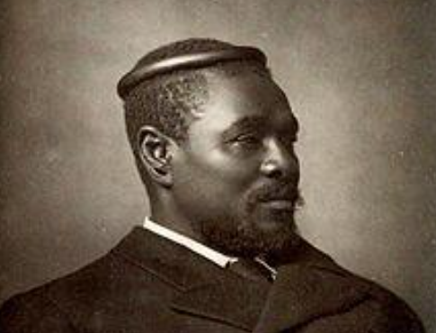
The map itself, pulled from a 1647 book documenting Parliament’s victories, is one of the few surviving records from the period. Most others were lost or destroyed. The exhibition includes an animated version of the map and first-hand accounts from those affected: from Major John Francis, a Parliamentarian killed in the fighting, to Bridget Rumney, a Royalist civilian who lost her family in the massacre that followed.
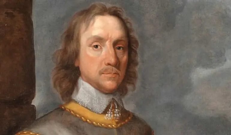
These human stories sit alongside artefacts with long journeys of their own. One of the most eye-catching is a carving set made from a sword captured at Naseby, its handle traced to Sri Lankan craftsmanship. Another highlight is a ceremonial helmet, long associated with Oliver Cromwell and likely used during his 1658 state funeral.
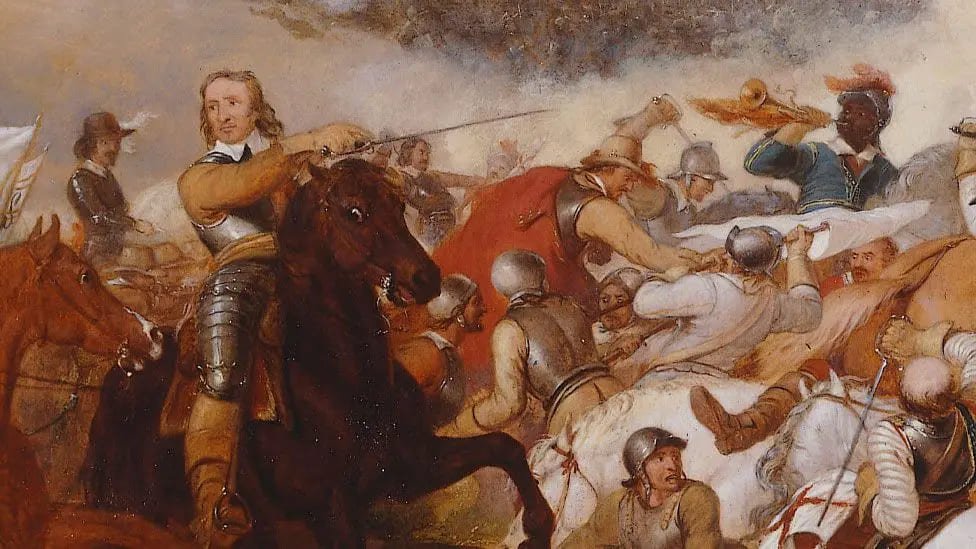
The legacy of the battle is everywhere, even today. The New Model Army, first deployed in this conflict, wore red coats, a uniform that would evolve into the British Army’s iconic dress. The idea of a professional standing army, under parliamentary control rather than royal command, was cemented here. And so was the long-standing centrality of Westminster in British political life.
While often referred to as the English Civil War, the phrase barely scratches the surface. The events touched all corners of the Isles and shaped how power was structured across them. The Naseby map, yellowed with age but loaded with meaning, helps us see that transformation in real time.
To plan your visit or learn more about the exhibition, head to the Cromwell Museum, which also offers digital resources for educators and history enthusiasts.
For more on British history and its lasting influence on London life, visit EyeOnLondon. We’d love to hear your views in the comments.
[Image Credit | The Cromwell Museum]
Follow us on:
Subscribe to our YouTube channel for the latest videos and updates!
We value your thoughts! Share your feedback and help us make EyeOnLondon even better!