Neanderthal ‘superhighway’ simulated
A team of anthropologists used computer simulations to create a map of possible pathways, concluding that the neanderthal journey may have employed the use of river valleys as natural highways, travelling during warmer periods. This allowed them to migrate around 2,000 miles (3,250 km) in less than 2,000 years.
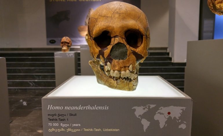
Recent research has concluded that neanderthal migration included a second major journey between Eastern Europe and Central and Eastern Eurasia between 120,000 and 60,000 years ago. But their journey had long been a mystery, mainly because there were few archaeological research connecting the two areas.
“Our findings show that, despite obstacles like mountains and large rivers, Neanderthals could have crossed northern Eurasia surprisingly quickly,” explains Emily Coco, who began the study as a New York University doctoral student and is now a postdoctoral researcher at Portugal’s University of Algarve.
The research was published in the journal PLOS One and was conducted with associate professor at NYU’s Center for the Study of Human Origins, Radu Iovita.
“These findings provide important insights into the paths of ancient migrations that cannot currently be studied from the archaeological record and reveal how computer simulations can help uncover new clues about ancient migrations that shaped human history,” observes Coco.
In creating the simulation of the 2,000-year journey of the neanderthals, the team considered the terrain’s elevation, reconstructing the ancient rivers, glacial barriers, and temperatures, to model their movement. This is the first time this method, which has previously been used to model the movements of humans and other animals, has been applied on neanderthals.
Stay tuned to EyeOnLondon for the latest news and expert opinions.
Follow us on:
Subscribe to our YouTube channel for the latest videos and updates!
We value your thoughts! Share your feedback and help us make EyeOnLondon even better!