Bicycle handlebar sensor can help map riskiest bike routes
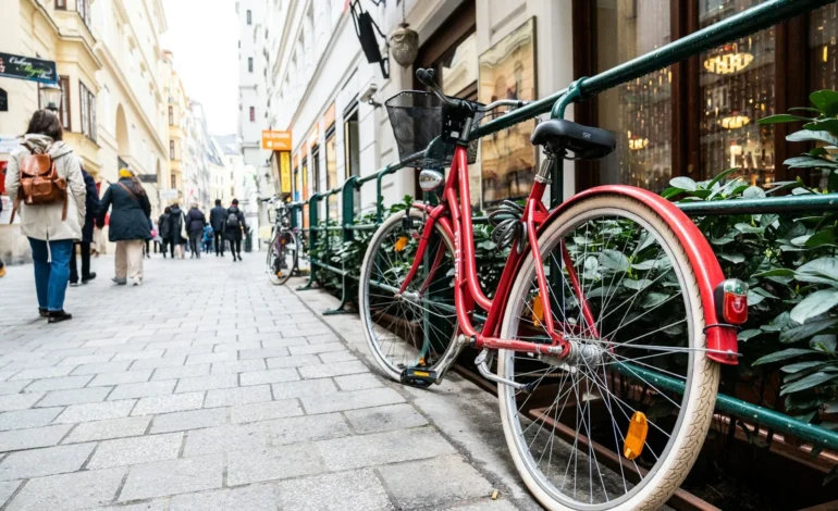
While riding a bicycle, it can be difficult to identify the safest route to ride, especially for beginner cyclists. One way is to flag areas where riders at a certain location have had close calls or collisions with cars.
A team, led by the University of Washington, developed a system called ProxiCycle, which logs when a car comes too close to a bicycle, within four feet. The small, inexpensive sensor plugs directly into the handlebars and can track passes, sending them to a rider’s phone. The team tested the system for two months with 15 cyclists in Seattle, finding a significant correlation between close overtakes by drivers, and other indicators of poor safety, such as collisions. Deployed at a large scale, this system could support mapping or navigating cyclists towards safer bicycle routes in cities.
“Experienced cyclists have this mental map of which streets are safe and which are unsafe, and I wanted to find a simple way to pass that knowledge down to novice cyclists,” lead author Joseph Breda, a UW doctoral student in the Paul G. Allen School of Computer Science & Engineering, said. “Cycling is really good for your health and for the environment. Getting more people biking more often is how we reap those rewards and increase safety in numbers for cyclists on the roads.”
The team presented the research at the ACM CHI Conference on Human Factors in Computing Systems in Yokohama, Japan, on 29th April. To begin, they surveyed 389 people of all cycling experiences in Seattle. Respondents ranked the threat of cars as being the primary factor that discouraged them from cycling, saying that they would be likely to use the map to help them navigate safely. A key factor preventing this is limited data on road safety.
The sensor costs less than $25 to build and consist of a 3D printed plastic casing that houses a pair of sensors and a Bluetooth antenna. The antenna transmits the data to a rider’s phone where the team’s algorithm interprets what is whether a passing car, person, another cyclist, or a tree is passing the cyclist.
The system was validated through testing in a car park, where cars passed at different distances, and with seven riders on the streets of Seattle with GoPro cameras on the handlebars. The footage was watched by riders and compared with the results on the sensor.
Stay tuned to EyeOnLondon for the latest news and expert opinions.
Follow us on:
Subscribe to our YouTube channel for the latest videos and updates!
We value your thoughts! Share your feedback and help us make EyeOnLondon even better!